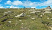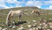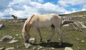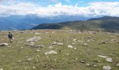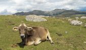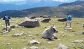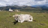

Villanderer Alm

VacheKiri67
Gebruiker

Lengte
13,7 km

Max. hoogte
2369 m

Positief hoogteverschil
645 m

Km-Effort
22 km

Min. hoogte
1726 m

Negatief hoogteverschil
656 m
Boucle
Ja
Datum van aanmaak :
2018-07-27 13:28:58.628
Laatste wijziging :
2018-07-27 13:28:58.884
4h44
Moeilijkheid : Medium

Gratisgps-wandelapplicatie
Over ons
Tocht Stappen van 13,7 km beschikbaar op Trento-Zuid-Tirol, Bolzano - Bozen, Villanders - Villandro. Deze tocht wordt voorgesteld door VacheKiri67.
Beschrijving
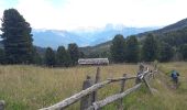
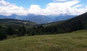
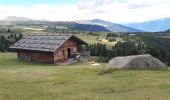
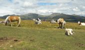
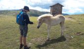
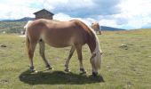
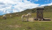
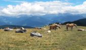
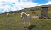
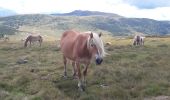
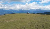
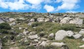
Faite le 22/07/2018 avec notre fils Théo de 13 ans. D'après "Wanderung zum Totensee" du site www.sentres.com. Durée indiquée pour le circuit : 4h.
Plaatsbepaling
Land:
Italy
Regio :
Trento-Zuid-Tirol
Departement/Provincie :
Bolzano - Bozen
Gemeente :
Villanders - Villandro
Locatie:
Unknown
Vertrek:(Dec)
Vertrek:(UTM)
690575 ; 5168331 (32T) N.
Opmerkingen
Wandeltochten in de omgeving
IT-2


Te voet
Gemakkelijk
Waidbruck - Ponte Gardena,
Trento-Zuid-Tirol,
Bolzano - Bozen,
Italy

6,5 km | 14,5 km-effort
3h 17min
Neen
AVS 3 - Sarnthein - Gasteiger Sattel


Te voet
Gemakkelijk
Villanders - Villandro,
Trento-Zuid-Tirol,
Bolzano - Bozen,
Italy

10,9 km | 19,4 km-effort
4h 24min
Neen
AVS 6 - Gasserhütte - Schloss Reinegg


Te voet
Gemakkelijk
Villanders - Villandro,
Trento-Zuid-Tirol,
Bolzano - Bozen,
Italy

8,8 km | 14,9 km-effort
3h 23min
Neen
Latzfonser Kreuz


Stappen
Moeilijk
Klausen - Chiusa,
Trento-Zuid-Tirol,
Bolzano - Bozen,
Italy

14,8 km | 27 km-effort
6h 24min
Ja
Villanderer Alm - Stöfflhütte et prairies marécageuses


Stappen
Medium
Villanders - Villandro,
Trento-Zuid-Tirol,
Bolzano - Bozen,
Italy

15,7 km | 22 km-effort
5h 3min
Ja
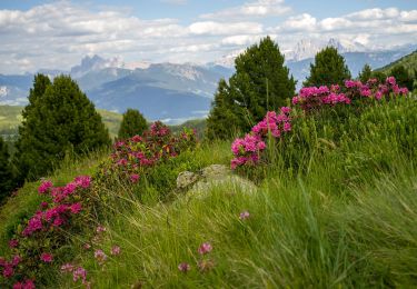
Vogelweider Rundweg


Te voet
Gemakkelijk
Lajen - Laion,
Trento-Zuid-Tirol,
Bolzano - Bozen,
Italy

7,2 km | 12,6 km-effort
2h 52min
Ja
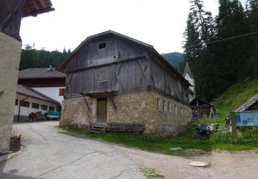
IT-35


Te voet
Zeer moeilijk
Waidbruck - Ponte Gardena,
Trento-Zuid-Tirol,
Bolzano - Bozen,
Italy

39 km | 70 km-effort
15h 55min
Neen
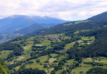
Keschtnweg - Sentiero del Castagno


Te voet
Zeer moeilijk
Klausen - Chiusa,
Trento-Zuid-Tirol,
Bolzano - Bozen,
Italy

27 km | 41 km-effort
9h 21min
Neen
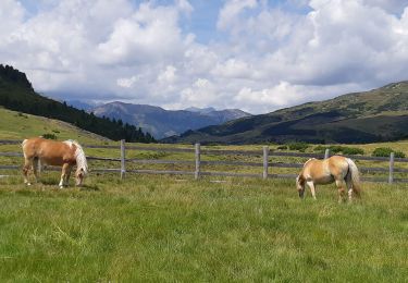
villander


Stappen
Medium
Villanders - Villandro,
Trento-Zuid-Tirol,
Bolzano - Bozen,
Italy

13 km | 0 m-effort
4h 42min
Ja


 SityTrail


